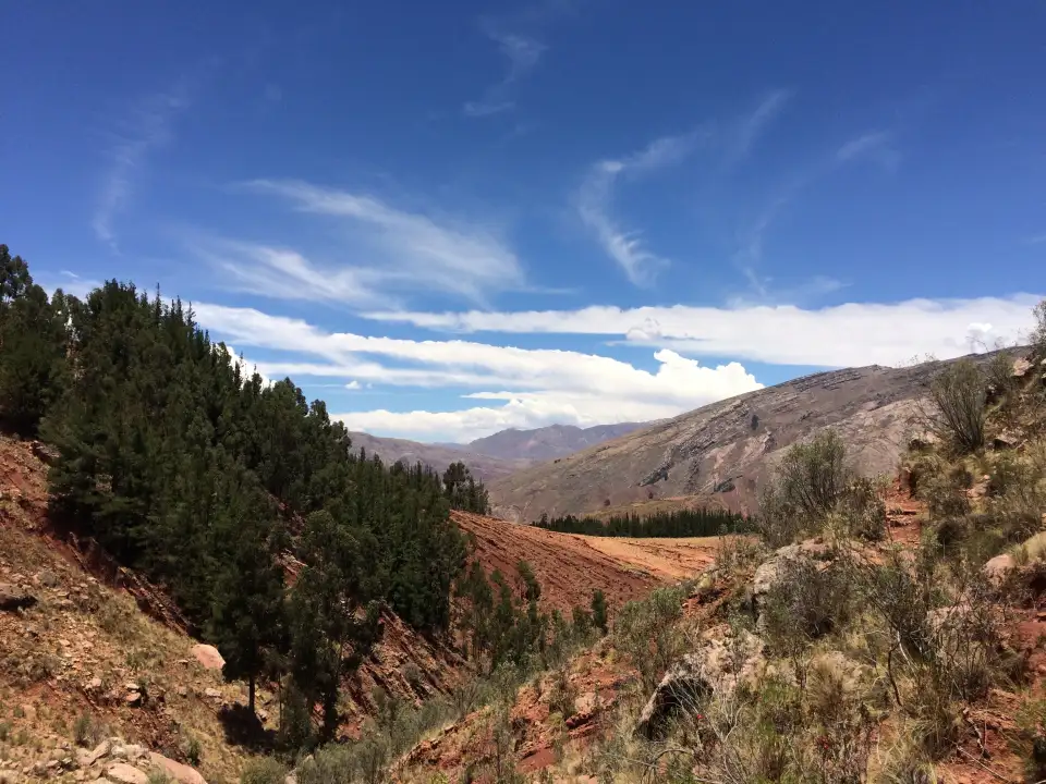
The outdoors ain’t goin’ nowhere. But you should.
Find your next adventure.
Plan routes, discover new places and explore with confidence. Whether you’re heading into the hills, finding a quiet woodland trail or wandering somewhere completely new, LaceLock helps you get there. And back again.
Free. One email when it’s in the stores. Nothing else.
On your phone
One app for every adventure.
-
Map
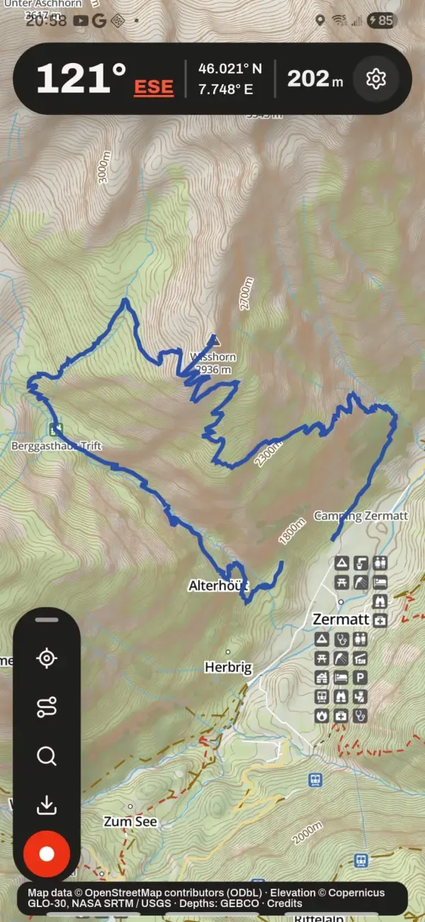
Plan your route anywhere in the world. Your next adventure starts here, whether it’s close to home or somewhere completely new.
-
LaceLock
Save your route and map before you set off. Once it’s LaceLocked, everything stays exactly as you planned, even without a signal.
-
Go
Follow your route with confidence. If you take a wrong turn, LaceLock helps you get back on track, so you can spend more time enjoying the journey.
On the website
The same map, on a big screen.
Plan at the kitchen table, walk it on Saturday.
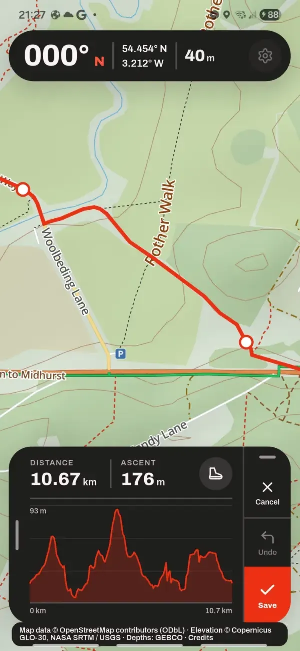
- Plan routes with a full elevation chart
- Routes appear on your phone, ready to follow
- View and download every track you’ve recorded
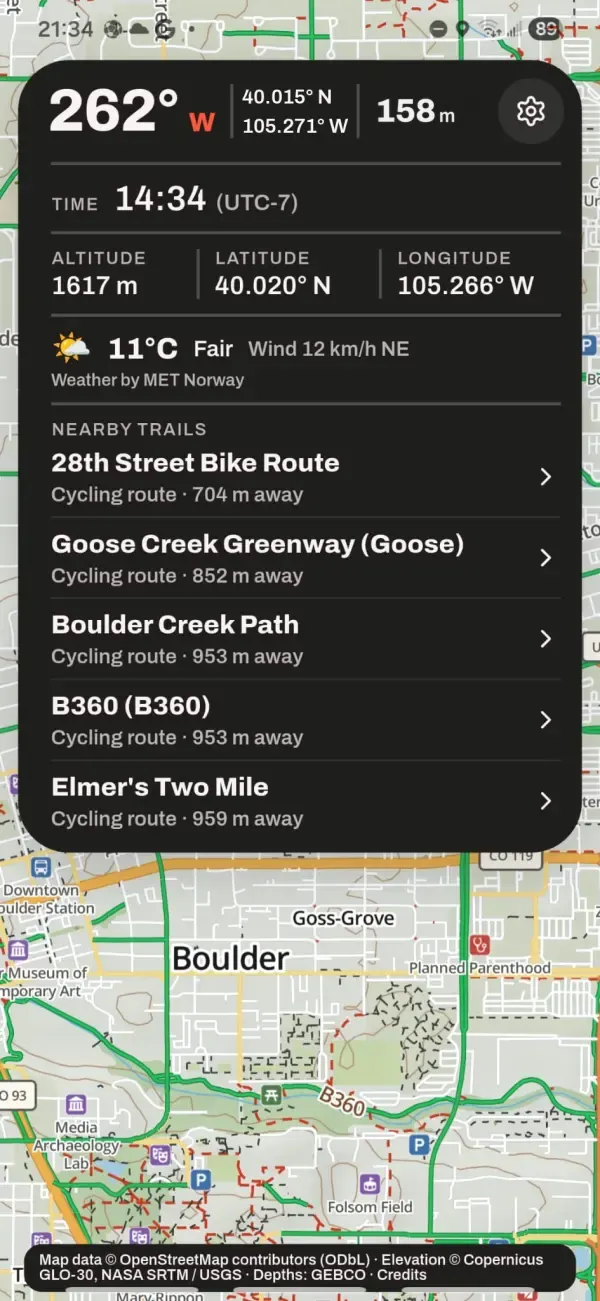
- Browse real trail pages, region by region
- Print the map. Paper doesn’t run out of battery.
A detailed outdoor map, instantly.
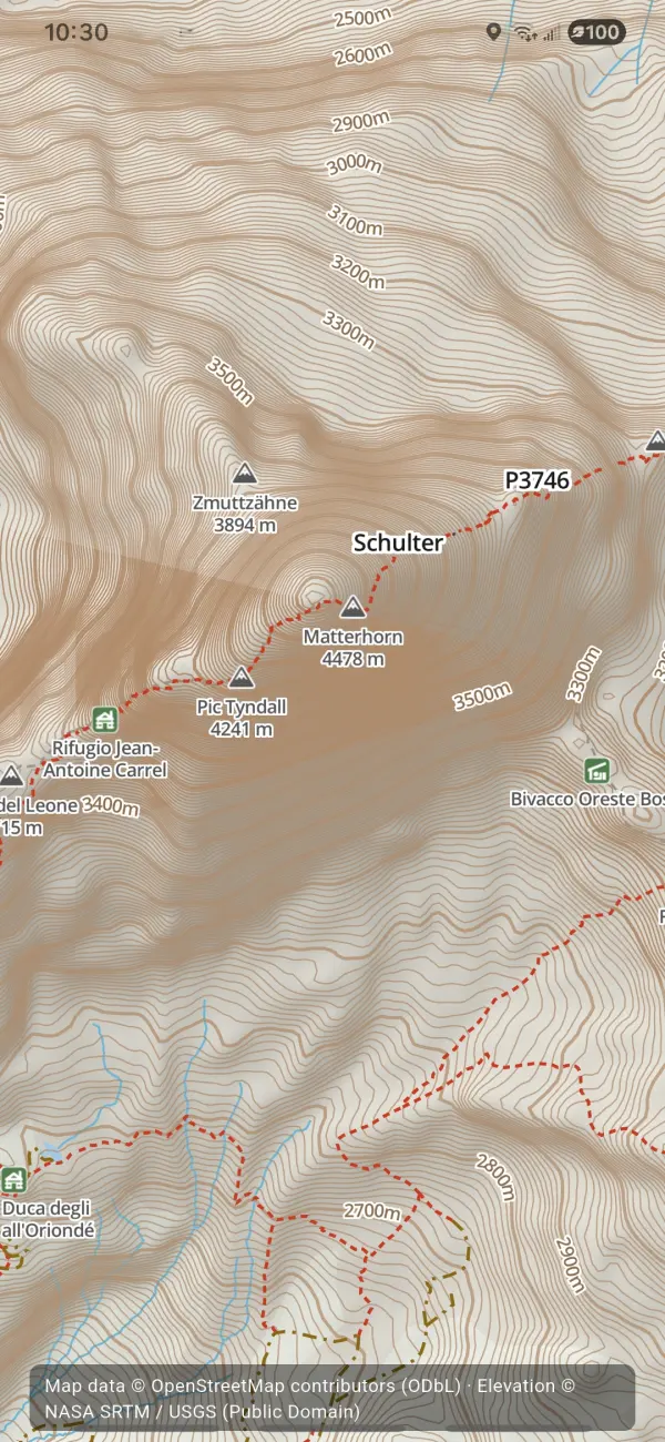
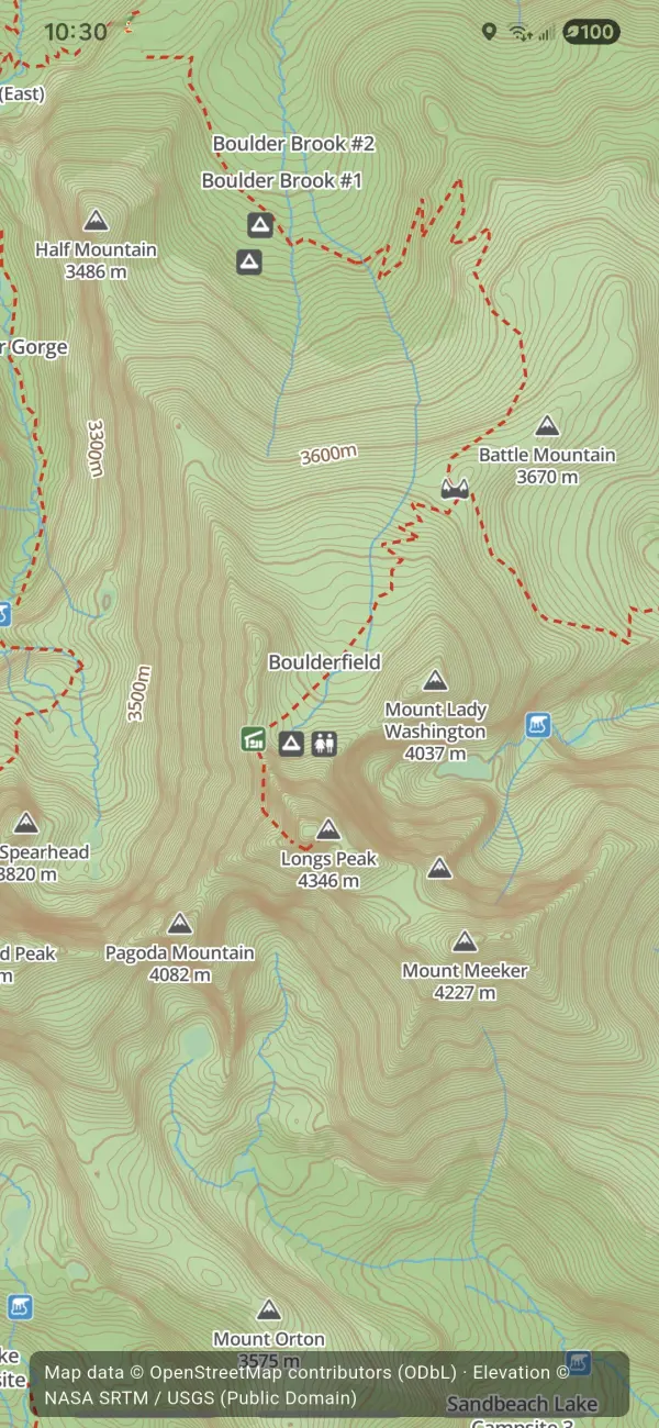
Contours, hillshading, trails, place names. Open the app and it’s there. No download, no waiting for tiles, no “basic” map you have to upgrade.
Works with no signal.
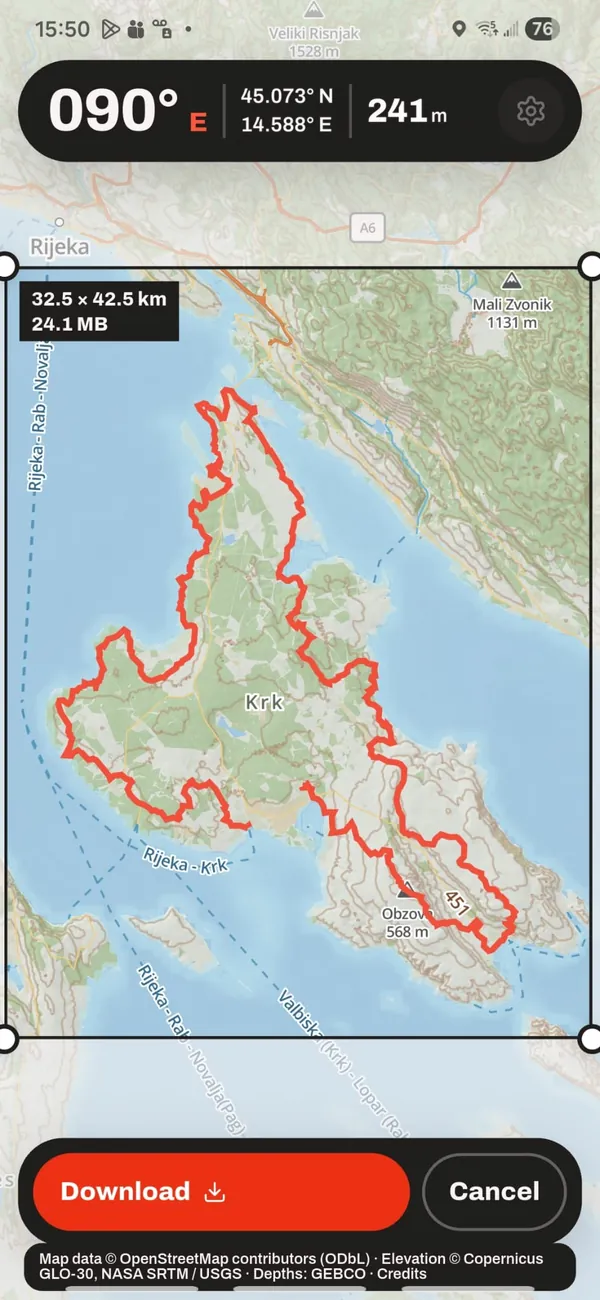
Draw a box around where you’re going, save it, and everything keeps working: the map, your position, recording, search, your routes. Signal tends to vanish exactly where you need the map most.
- Map
- Your position
- Recording
- Search
- Routes
Your data is yours.
Your tracks live in an encrypted store on your phone and are backed up privately to your account. Export a GPX file any time and take it anywhere. We don’t sell, share or study where you’ve been.
-
Encrypted on your phone
Tracks sit in an encrypted database on the device. Your backup is private to your account.
-
Export GPX any time
One tap. Your file, works in every other app.
-
Built on OpenStreetMap
The map millions of people maintain. No ad network behind it, no tracking in the app.
Together
One account. Phone and web stay in step.
Tracks from the phone appear on the web. Routes planned on the web appear on the phone. Photos flow both ways. Share links open anywhere, app or not.
LaceLock your route on the website, walk it from your phone.
Map. LaceLock. Go.
LaceLock is free and nearly ready. Leave an email and we’ll tell you once, when it’s in the stores.