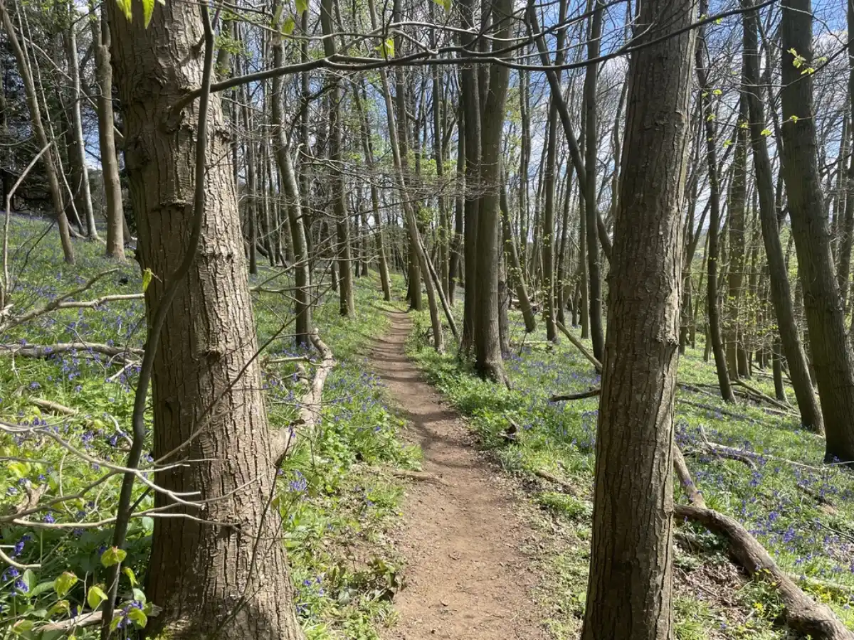
Short answer: a circular walk takes you back to where you started by a different route than the one you came out on, so there's no retracing your steps and no leaving a car at each end. To plan one, pick your start point, choose a far point or landmark to loop around, then find two different paths that connect the two and check they actually join up before you rely on them. Match the distance to the time you've got, and you're set.
Circular walks are the most satisfying kind to plan. You finish back at the car, or ideally the pub, you never walk the same stretch twice, and the whole thing feels like a proper little journey rather than a there-and-back. They take slightly more thought than an out-and-back, but not much, and most of it comes down to one thing: making sure the loop actually closes.
What makes a good circular walk?
A loop that brings you back to the start by a different route, at roughly the distance and difficulty you want, on paths that genuinely connect.
The appeal is obvious the first time you do one. No doubling back, no shuttling cars between two points, and more varied scenery because you aren't seeing everything twice. The thing that separates a good circular walk from a frustrating one usually isn't the distance or the views. It's whether the paths you've strung together actually meet on the ground.
How do I plan a circular walk?
There are a few ways in, and most people end up mixing them.
- Start from the finish. Begin with wherever you'll park or set off from, and build the loop outward from there so it naturally returns to the same spot.
- Pick a far point and find two ways to it. Choose a landmark, a viewpoint or a village roughly half your intended distance away, then find one path out to it and a different path back. This is the heart of planning a loop.
- Borrow one that works. Browsing routes other people have already walked is the quickest way to a circular route you can trust, because someone has already proven the paths connect. You can tweak it from there.
- Draw your own. Drop a start point, trace a line out along one path and back along another, and watch the loop close. A route-planning app will show you the distance as you go, so you can stretch or trim it before you commit.
How do I get the distance right?
Think in time rather than miles, and remember that a loop is easy to accidentally oversize.
Because you're heading out and coming back by different routes, the total adds up faster than you'd expect. It's a classic move to draw a cheerful loop on the map and only later work out it's a six-hour day. Check the distance as you plan, keep an eye on how much climbing is involved, and pick something you'll comfortably finish. There's more on judging this in how to plan a walking or running route.
How do I stop it turning into an out-and-back?
The whole point of a loop is two different halves, so the planning is mostly about connections.
The neat trick is linear features. Find two paths, tracks or lanes that both run between your start and your far point but by different lines, and join them into a loop. If you genuinely can't find a second way back, a figure-of-eight is a good fallback: two smaller loops that cross in the middle, which still spares you long stretches of repeated path. What you're trying to avoid is the loop that quietly collapses into an out-and-back because the return path you were banking on turns out not to exist.
What trips people up?
A few things turn a tidy loop on the map into a headache on the ground.
The big one is paths that don't actually connect: a right of way that stops dead at a field edge, or two paths that look joined on the map but have a river, a railway or a fenced road between them and no crossing. Before you rely on a loop, check the joins, and river and road crossings in particular, and look for other people's recorded tracks along the same lines as a sign the route goes through. It's also worth checking the return half isn't secretly the hilly half, because loops have a habit of saving the climbing for when your legs are already done.
Before you set off
A circular walk leans on its route more than an out-and-back does, because you can't simply turn around and retrace a path you already know.
Save your route and the map around it for offline before you leave, so a dropped signal doesn't matter (there's more on why in do you actually need offline maps for hiking?). Note where you're starting and parking, check the weather, and tell someone your plan. If this is your first proper walk in the countryside, there's a gentler starting point in planning your first proper countryside walk.
Get the loop to close and the distance to match your day, and a circular walk is about the most satisfying route there is to plan. LaceLock is being built to make it simple. Draw your loop or start from one that already works, save it and the map for offline, follow your position round live, and have a look back at where you went once you're home.