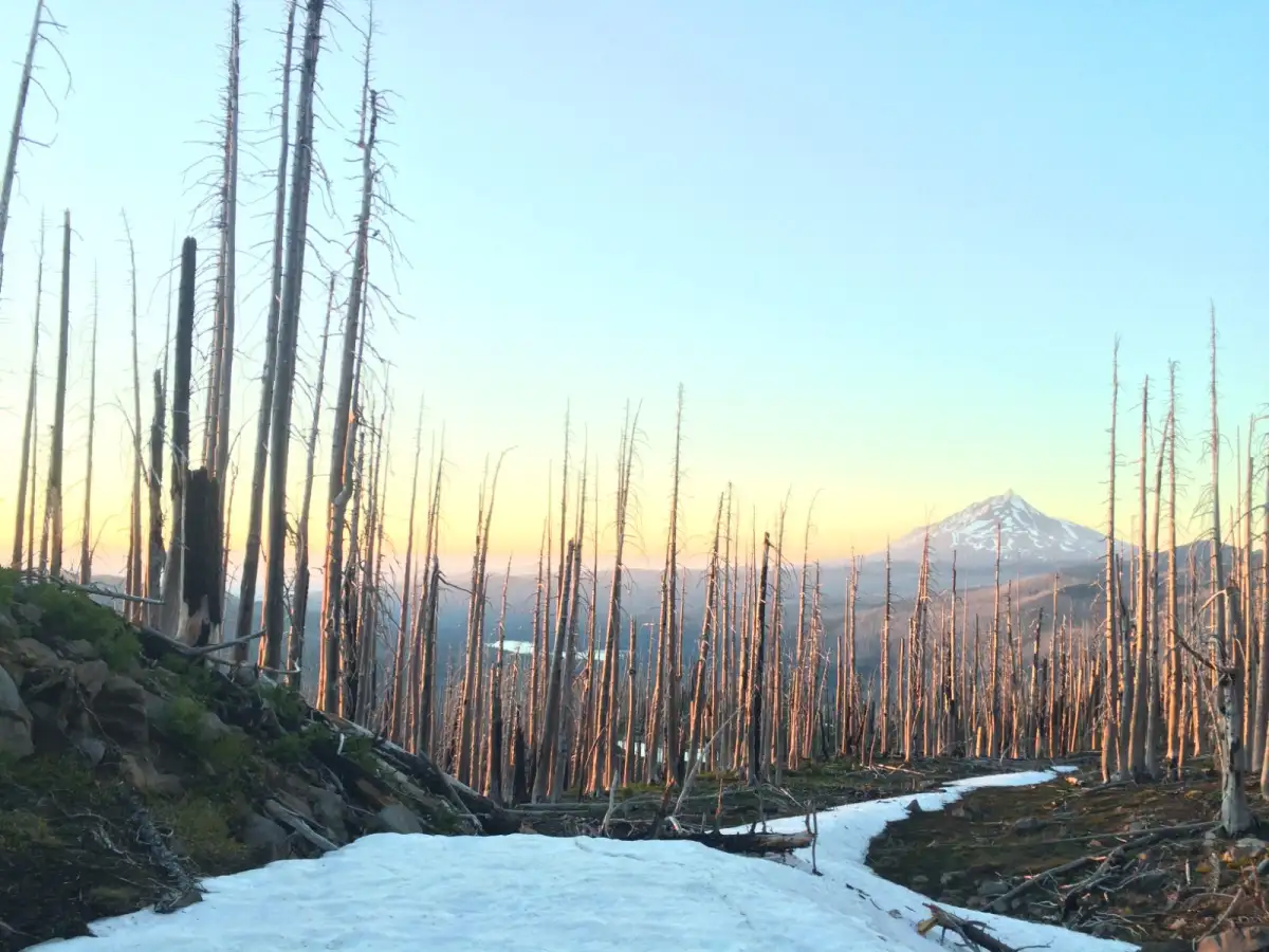
Short answer: your route data is the record of what you actually did out there: the map of where you went, how far, how long it took, how much climbing was involved, and how your pace rose and fell along the way. Read together, it tells you what you can comfortably handle, helps you plan your next route more realistically, and lets you relive the day long after your legs have forgotten it.
The walk or the run is only half of it. The other half happens later, on the sofa with a cup of tea, looking back at where you actually went. Most people glance at the distance, think "not bad", and close the app. But there's more in there than a single number, and some of it is genuinely useful, while some of it is just quietly lovely. Here's what your route data is telling you, once you know how to read it.
What counts as route data?
It's everything your phone recorded about the trip, not just the headline distance.
A recorded walk or run usually includes the line of where you went drawn on the map, the total distance, your moving time, the total climbing, which is your elevation gain, and your pace or speed and how it changed across the route. On their own they're just numbers. Put together, they describe the whole shape of your day.
What can the numbers actually tell you?
Mostly, how hard the day really was, and why.
- Distance and time together give you your real pace on that particular ground, which is far more telling than a time from a flat road.
- Elevation gain is usually the answer to "why did that feel so much harder than last week?" Two walks of the same distance can be worlds apart once one of them spends the afternoon going uphill.
- The most interesting read is your pace across the route. The places you slowed right down almost always line up with the climbs or the rough ground, and matching the dips in your pace to the map gives you a neat little "ah, that's where that hill was" moment. It quietly teaches you how your legs respond to terrain, which is worth knowing.
How does it help me plan the next one?
It turns guesswork into judgement.
Once you know you comfortably covered a certain distance, with a certain amount of climbing, in a certain time, you've got a real benchmark instead of a hopeful guess. Next time you're sizing up a route, you can think "that's a fair bit more climbing than last time, so I'll give it an extra half hour", rather than discovering it the hard way two-thirds of the way up. This is the loop that makes you better at planning, and it feeds straight back into how to plan a walking or running route. It's especially handy on trails, where your pace is all over the place and your road times tell you very little, which is part of what planning your first trail run is about.
The bit the numbers don't capture
Here's the part the metrics miss entirely.
The most valuable thing about looking back often isn't a number at all. It's the map. The line of where you went brings the whole day back in a way a distance figure never will: the wrong turn you laughed about, the bit where it started raining sideways, the spot you stopped dead because the view was faintly ridiculous. Your route data is as much a diary as a dashboard. Months later, the stats will have long blurred into each other, but the shape of a route on the map will still take you straight back there, mud and all.
You don't have to turn every walk into a performance review
A gentle word, because it's easy to tip the other way.
None of this means every outing has to be measured, compared and optimised to within an inch of its life. Plenty of the best walks are the ones where the only data point that matters is that you went at all. Look at the numbers when they're useful or interesting, ignore them completely when you'd rather just have been outside, and don't let the chart quietly become the point. The walk is the point. The data is simply a nice way of keeping hold of it.
That quiet value in looking back is a part of being outdoors that most apps rush straight past. LaceLock is being built so the after matters as much as the before: see where you actually went, understand how the day really went, and let it make your next route a little better judged. Plan it, follow it, then look back on it properly.