
MTB route · RCN
King Alfred's Way
King Alfred's Way: 352.8 km mountain-bike route near Beech Hill.
- 352.8 km
- 5,241 m ascent
- 278 m high point
Be first to get the app
LaceLock is coming to the App Store and Google Play. One email when it lands, nothing else.
At a glance
- Distance
- 352.8 km
- Ascent
- 5,241 m
- Descent
- 5,141 m
- Lowest · highest
- 29 m · 278 m
- Steepest kilometre
- 12 % climb (+122 m) from km 106.6
- Start
- Beech Hill
- End
- Beech Hill
- Type
- MTB route
- Sections
- 4 (stitched from 6 map regions)
Surface: 31% paved · 56% unpaved · 13% unknown
About this route
The King Alfred's Way is a 352.8 km mountain-bike route near Beech Hill.
The route climbs roughly 5,241 m in total and tops out at 278 m.
Around 56% of the surface is unpaved. It crosses six regions in LaceLock’s map: Hampshire is one of them.
Regions: Berkshire, Hampshire, Oxfordshire, Surrey, West Sussex, Wiltshire
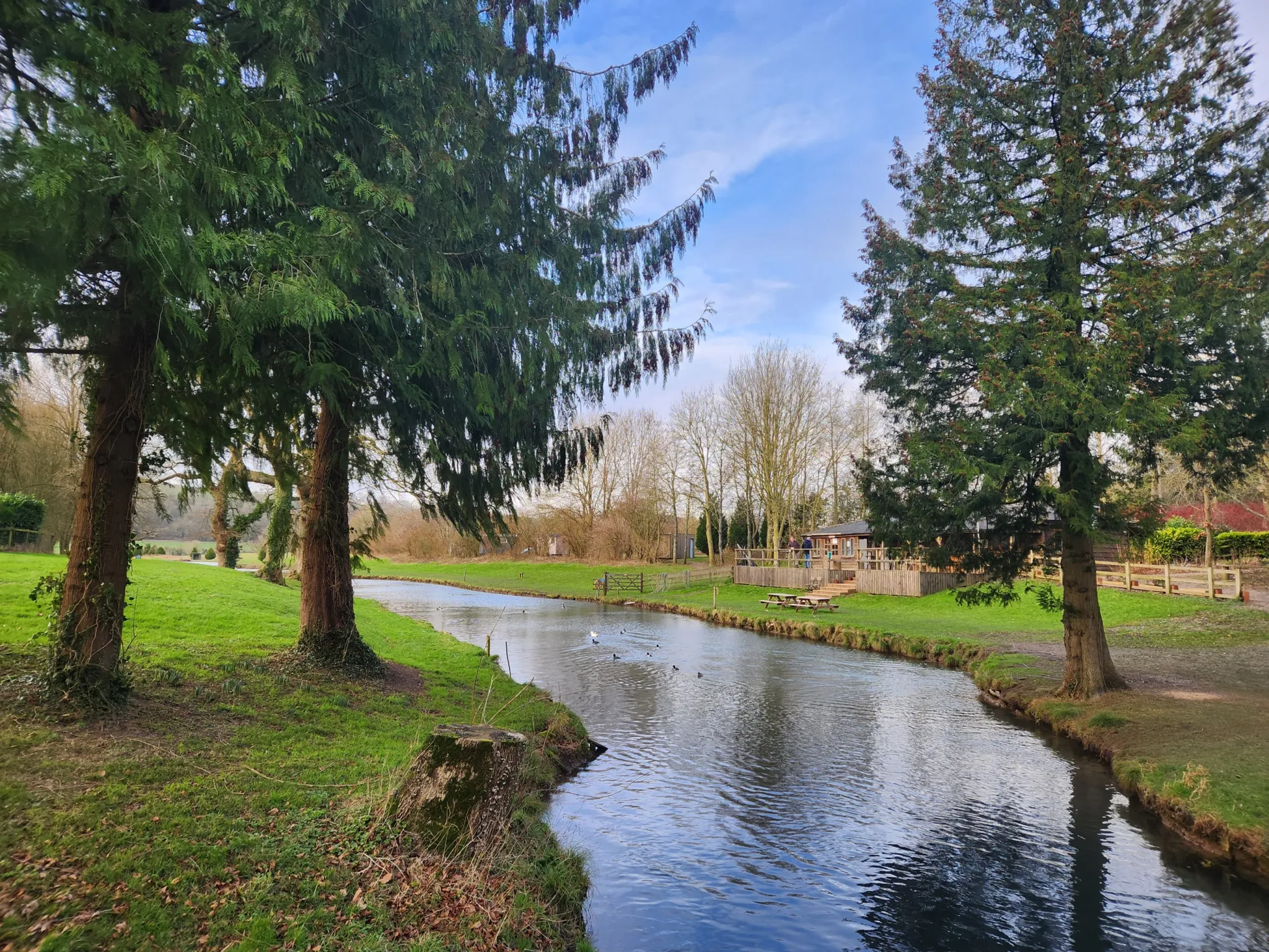
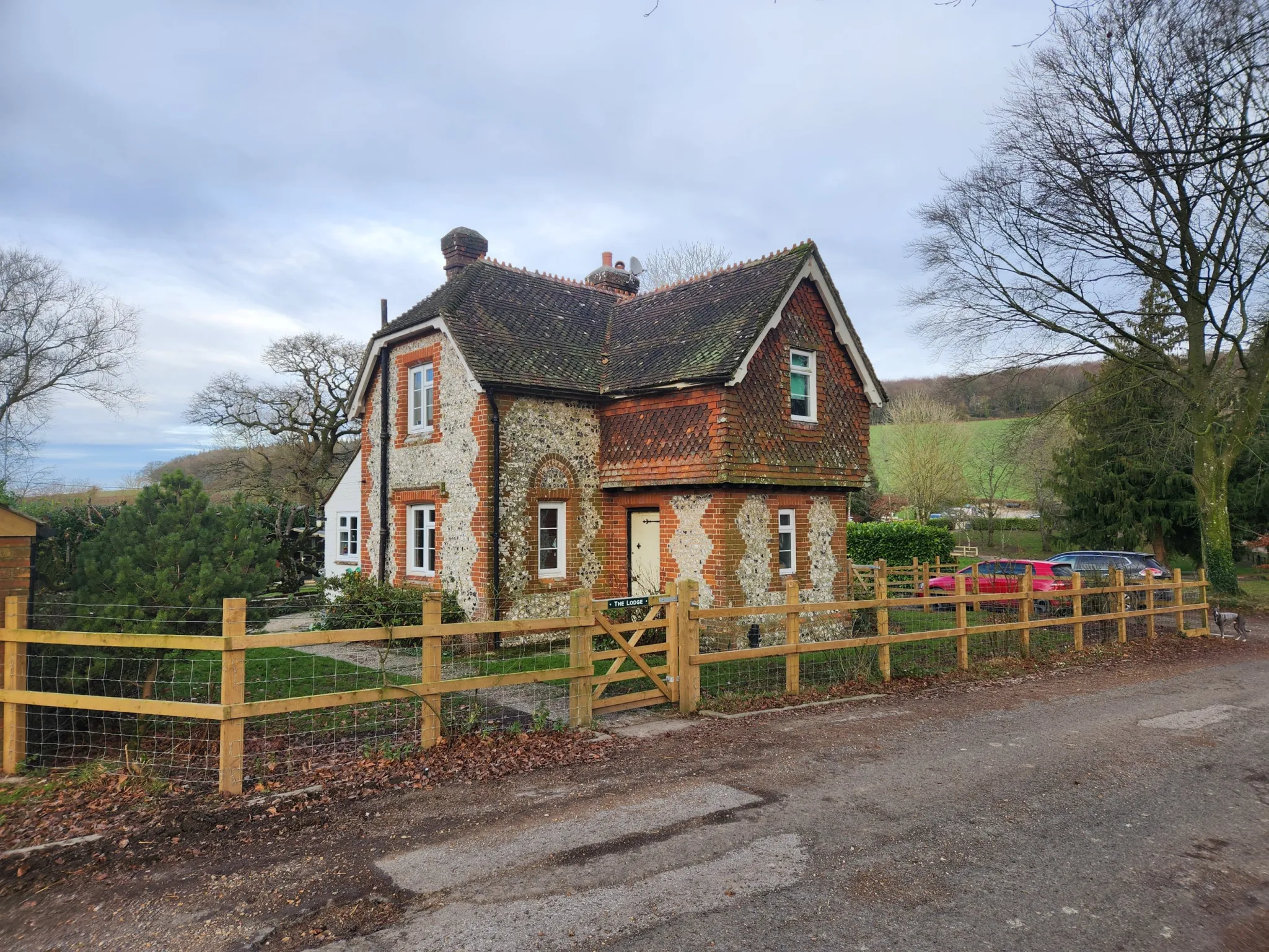
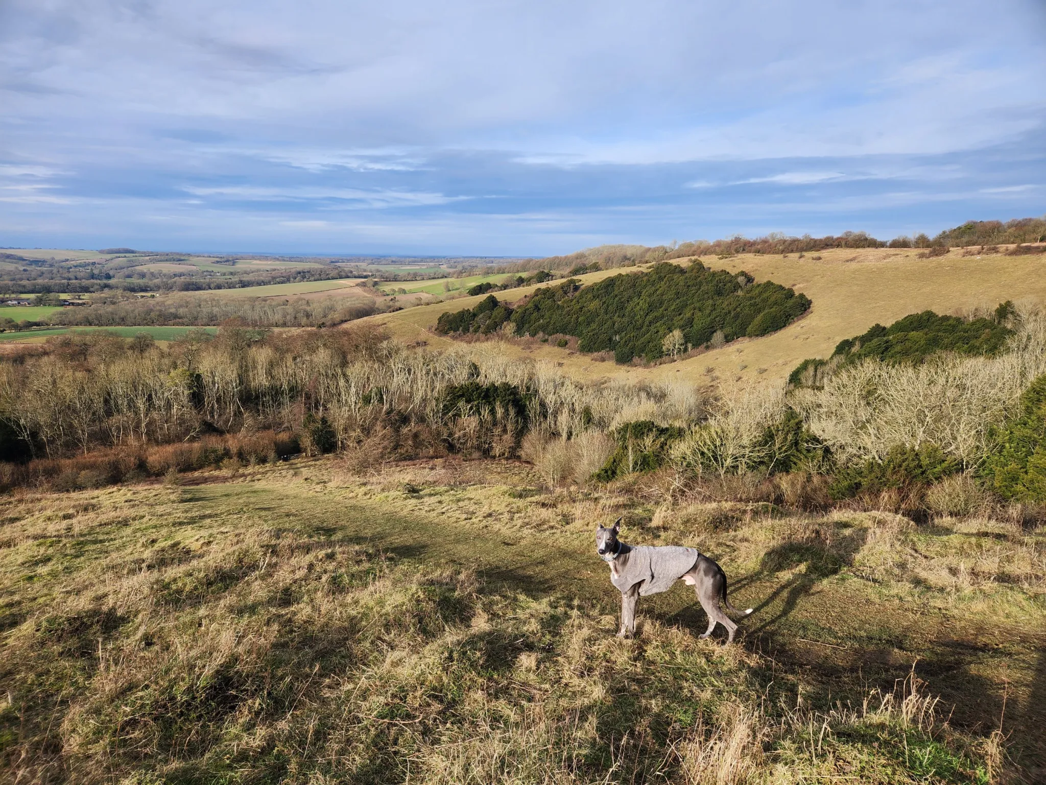
Photos along the way
Nearby routes
MTB route
Whitchurch Off-Road Cycle Trail
41.4 km↑ 501 m
Hiking trail
Watership Down Trail
36.5 km↑ 574 m
MTB route
Watership Down (Cycling Discoveries for Mountain Bikes in and Around North Hampshire)
19.1 km↑ 234 m
Hiking trail
The Brenda Parker Way
59.9 km↑ 981 m
MTB route
Cycling Discoveries in North Hampshire
16.0 km↑ 206 m
Nearby places
- New Forest National Park
- South Downs National Park
- Tanner's Pond
- Houghton Bay
- Horsebridge Lake
Be first to get the app
LaceLock is coming to the App Store and Google Play. One email when it lands, nothing else.
Open in map