
Hiking trail · RWN · OCT
Oregon Coast Trail
Oregon Coast Trail: 675.6 km hiking trail from Taft to Humbug Point.
- 675.6 km
- 10,960 m ascent
- 508 m high point
Be first to get the app
LaceLock is coming to the App Store and Google Play. One email when it lands, nothing else.
At a glance
- Distance
- 675.6 km
- Ascent
- 10,960 m
- Descent
- 10,964 m
- Lowest · highest
- -1 m · 508 m
- Steepest kilometre
- 20 % descent (-195 m) from km 338.4
- Start
- Taft
- End
- Humbug Point
- Type
- Hiking trail
- Sections
- 16 (stitched from 2 map regions)
Surface: 30% paved · 58% unpaved · 12% unknown
About this route
The Oregon Coast Trail is a 675.6 km hiking trail from Taft to Humbug Point.
The route climbs roughly 10,960 m in total and tops out at 508 m.
Around 58% of the surface is unpaved. It crosses two regions in LaceLock’s map: Oregon is one of them.
Regions: California, Oregon
Photos along the way
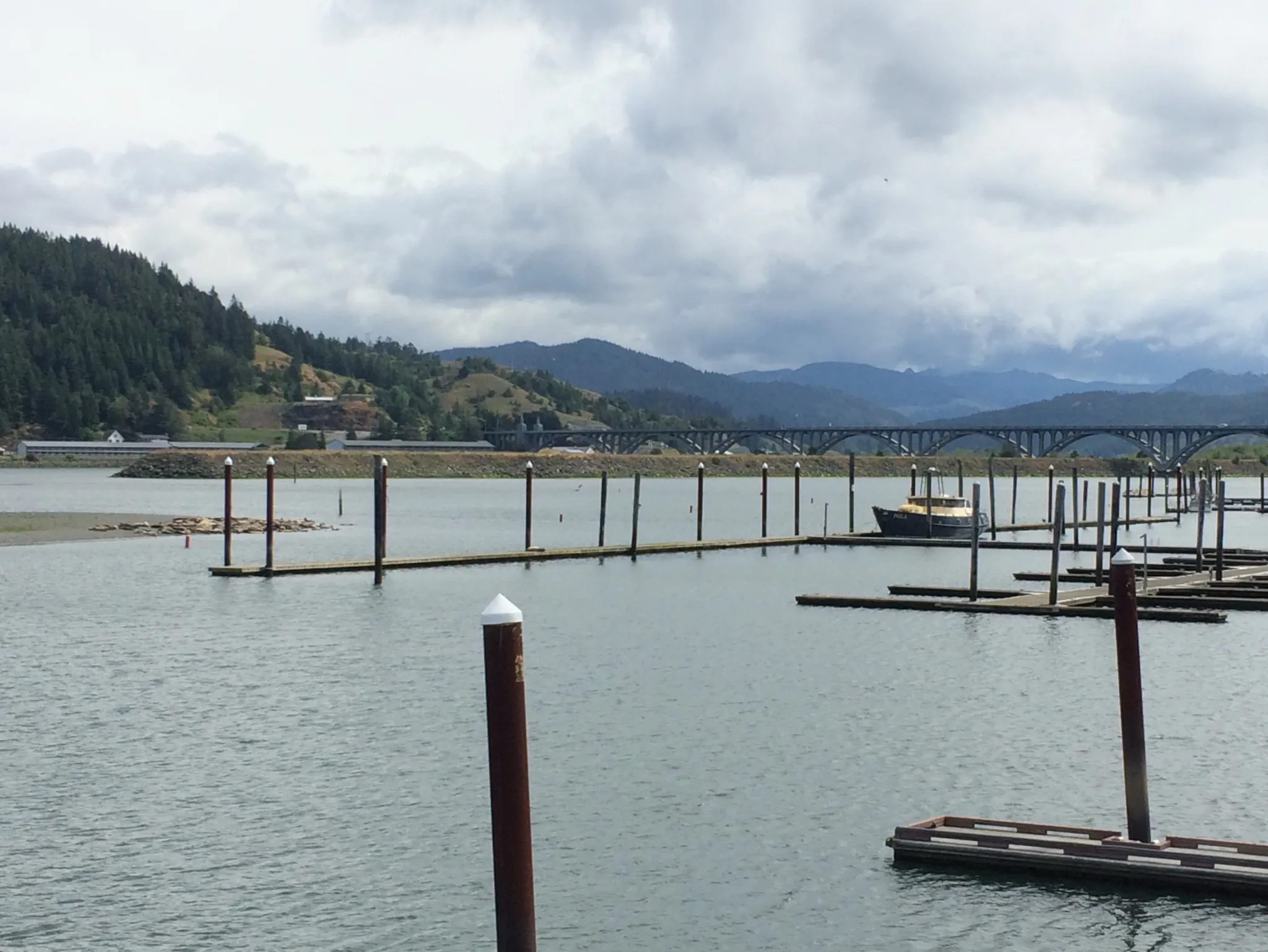
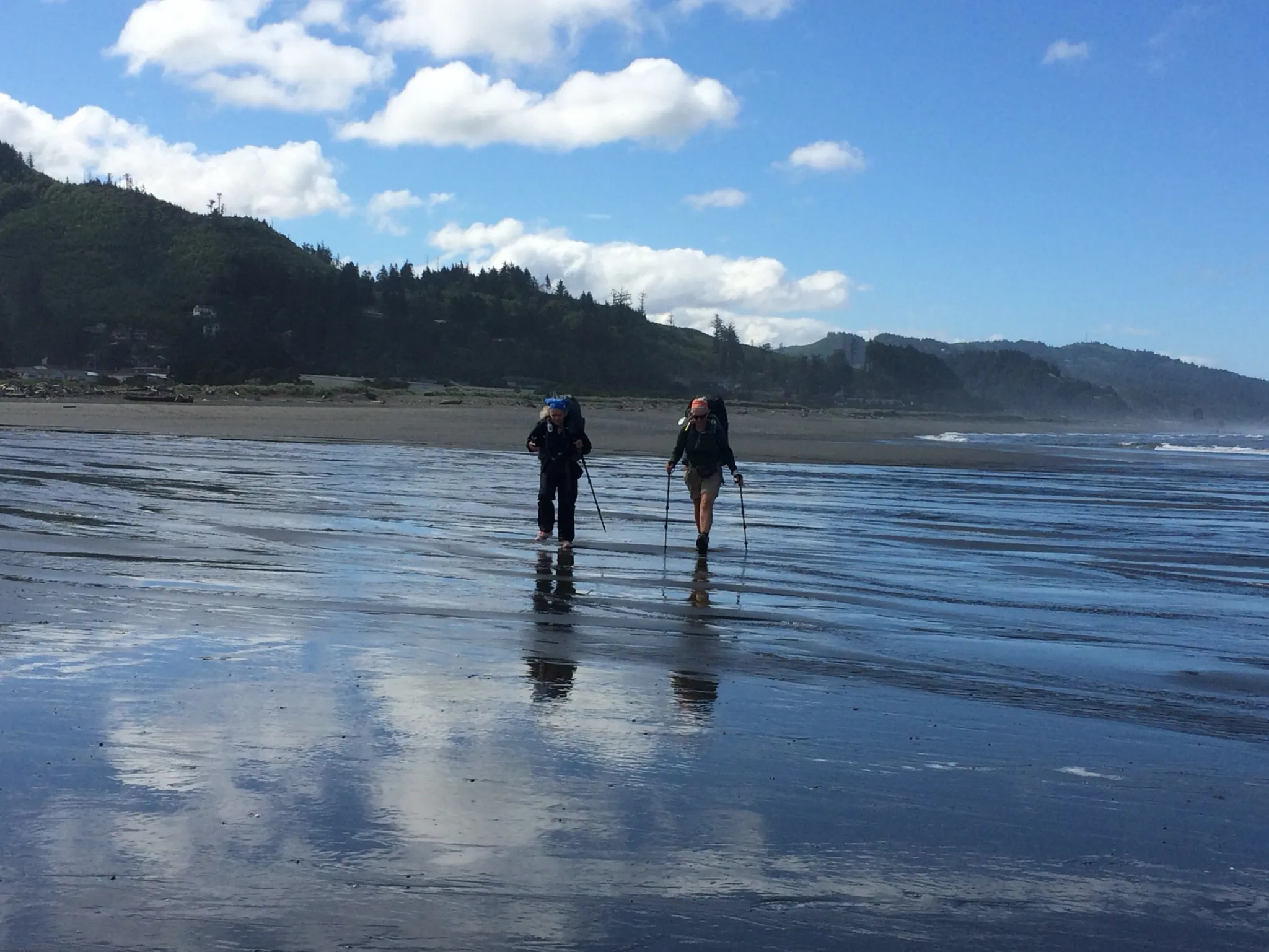
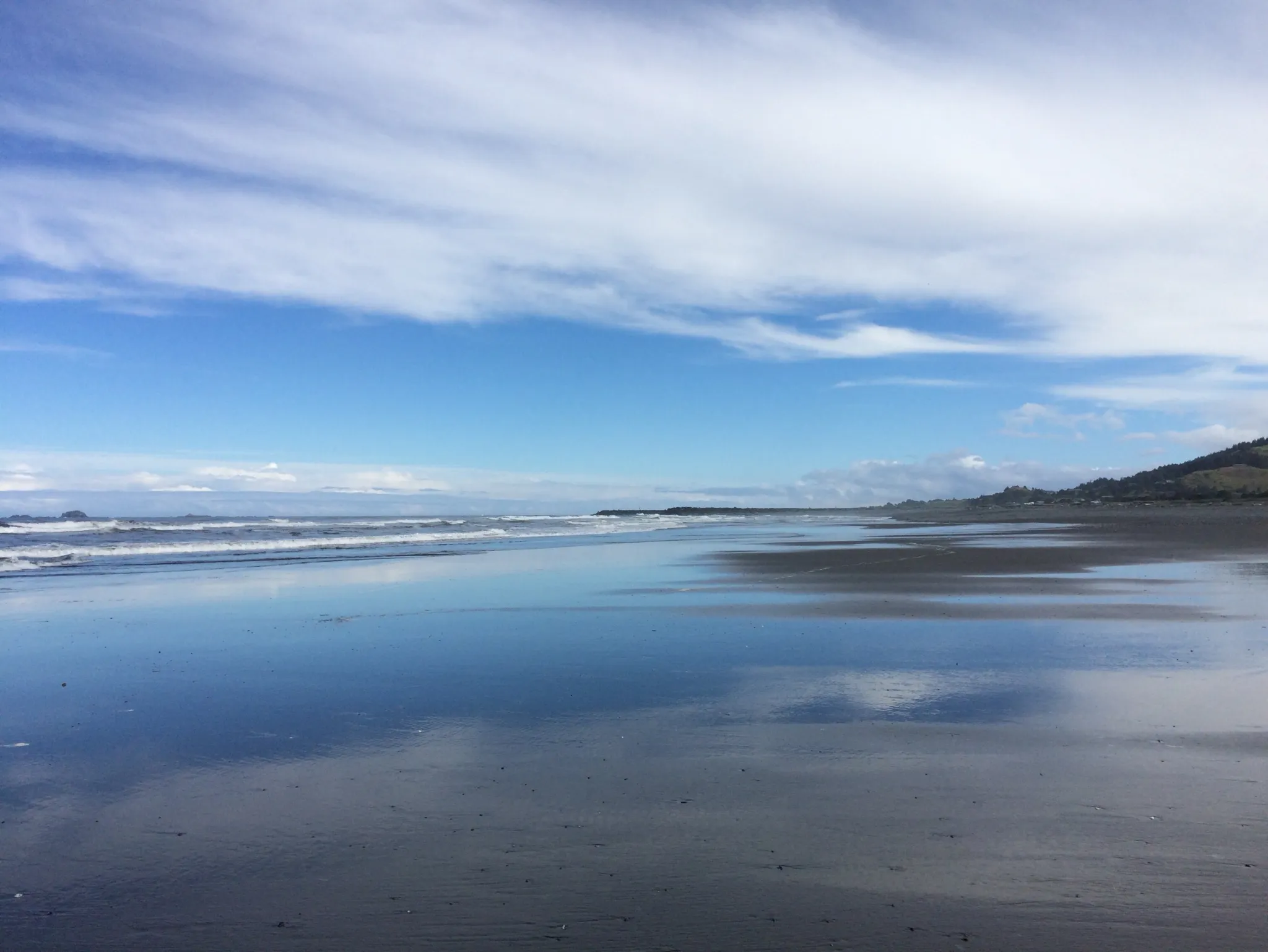
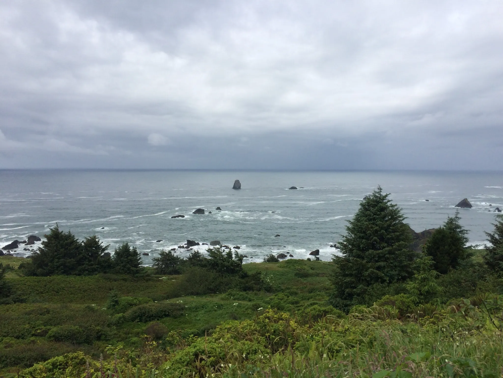
Nearby routes
Cycling route
Oregon Coast Scenic Bikeway
588.1 km↑ 10,185 m
Hiking trail
Oregon Dunes Loop Trail
6.2 km↑ 46 m
Hiking trail
John Dellenback Dunes Trail
4.7 km↑ 48 m
Cycling route
Corvallis to the Sea Bicycle Route to the Coast
87.3 km↑ 2,801 m
Hiking trail
Corvallis-to-the-Sea Trail
95.2 km↑ 3,613 m
Nearby places
- Salt Works - Lewis and Clark National Historical Park
- Yeon Unit - Lewis and Clark National Historical Park
- Fort Clatsop - Netul Landing - Lewis and Clark National Historical Park
- Oregon Dunes National Recreation Area
- Harris Butte · 18 m
- Arizona Pond
- Fourth Creek Reservoir · 5 m
Be first to get the app
LaceLock is coming to the App Store and Google Play. One email when it lands, nothing else.
Open in map