
Hiking trail · LWN
Woolbeding Landscapes Walk, Sussex West
Woolbeding Landscapes Walk, Sussex West: 9.6 km hiking trail from Telegraph Hill to Midhurst.
- 9.6 km
- 233 m ascent
- 205 m high point
Be first to get the app
LaceLock is coming to the App Store and Google Play. One email when it lands, nothing else.
At a glance
- Distance
- 9.6 km
- Ascent
- 233 m
- Descent
- 256 m
- Lowest · highest
- 25 m · 205 m
- Steepest kilometre
- 9 % descent (-91 m) from km 0.5
- Start
- Telegraph Hill
- End
- Midhurst
- Type
- Hiking trail
- Sections
- 3
Surface: 5% paved · 95% unpaved · 0% unknown
About this route
Woolbeding Landscapes Walk, Sussex West runs 9.6 km from Telegraph Hill to Midhurst, a hiking trail mapped from OpenStreetMap data.
The route climbs roughly 233 m in total and tops out at 205 m.
Around 95% of the surface is unpaved. It lies within West Sussex.
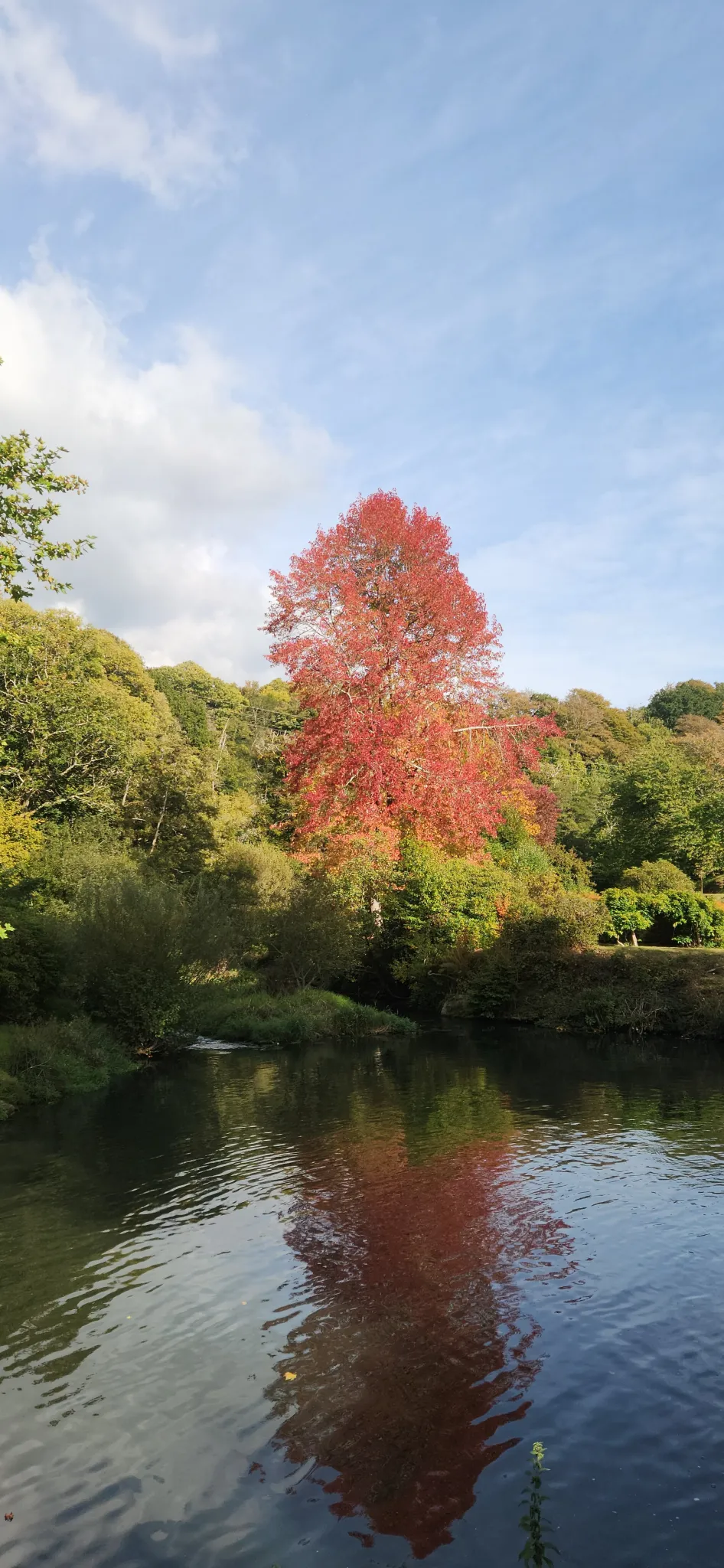
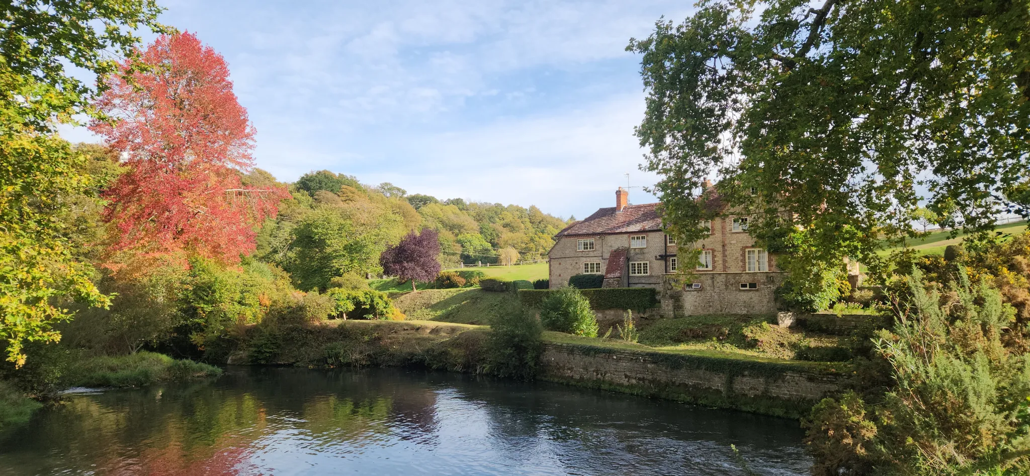
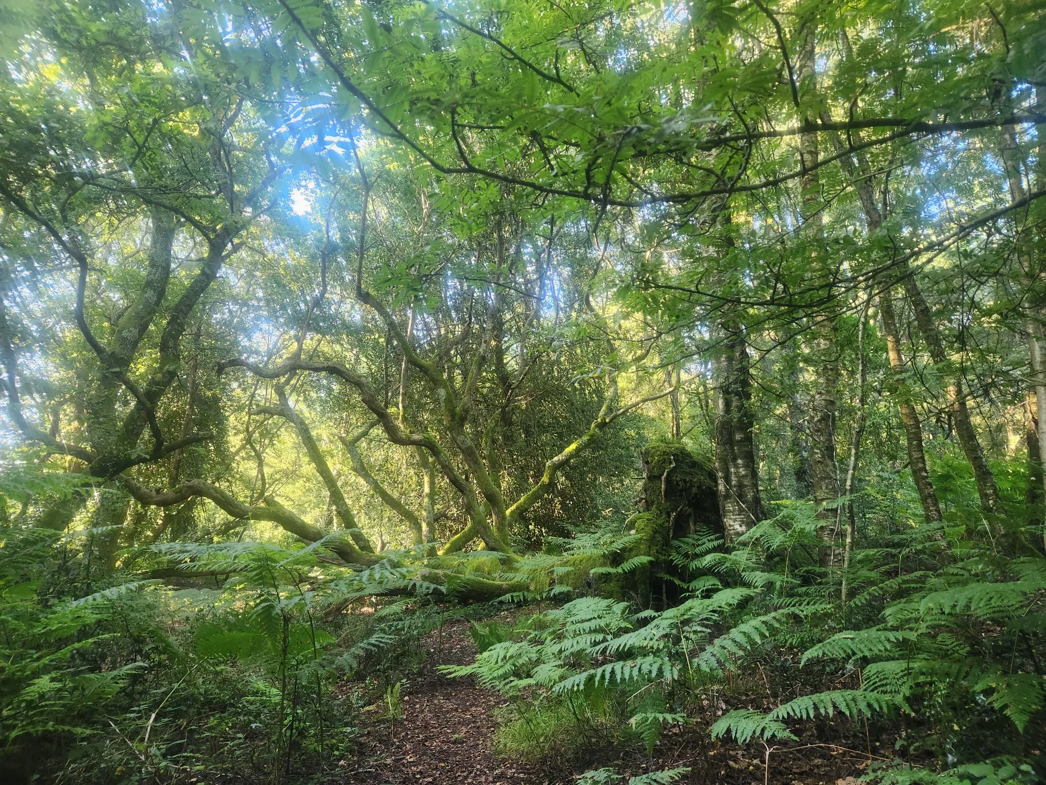
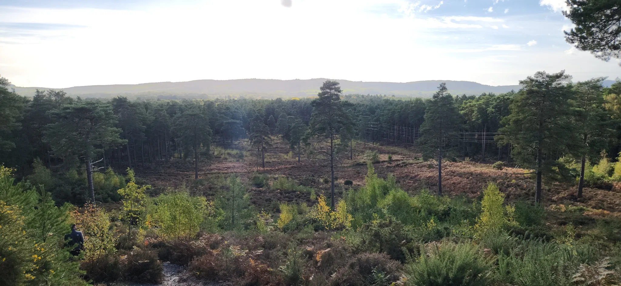
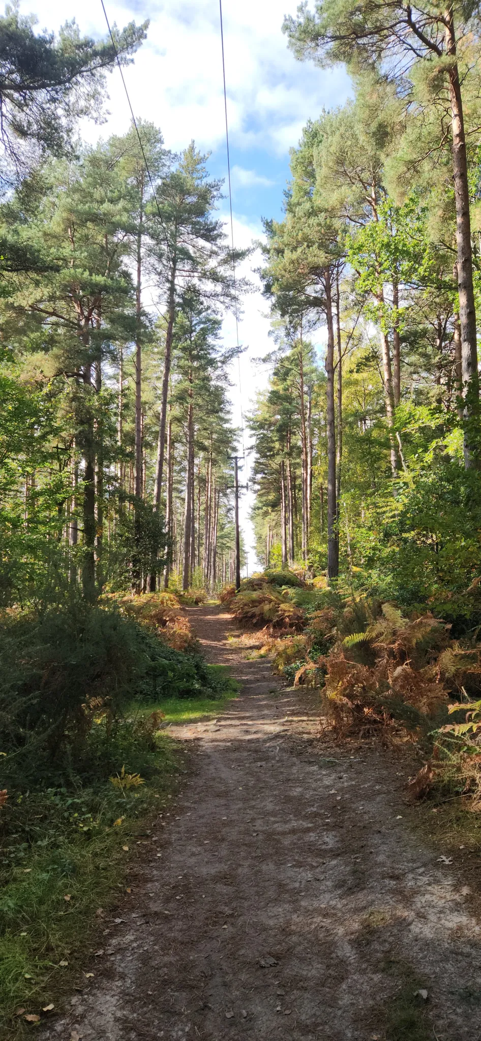
Photos along the way
Nearby routes
Hiking trail
The Serpent Trail
100.7 km↑ 2,264 m
Walking route
Woolbeding, River Rother and Midhurst Walk, South Downs West
4.6 km↑ 64 m
Cycling route
National Cycle Route 228 Pulborough to Petersfield (proposed)
31.7 km↑ 374 m
Hiking trail
Shottermill to Marley Common and Cognor Wood walk, Black Down
6.8 km↑ 207 m
Walking route
Black Down Temple of the Winds trail, Black Down
3.7 km↑ 45 m
Nearby places
- South Downs National Park
- Hammer Pond
- Dunner Hill · 145 m
- New Pond
Be first to get the app
LaceLock is coming to the App Store and Google Play. One email when it lands, nothing else.
Open in map