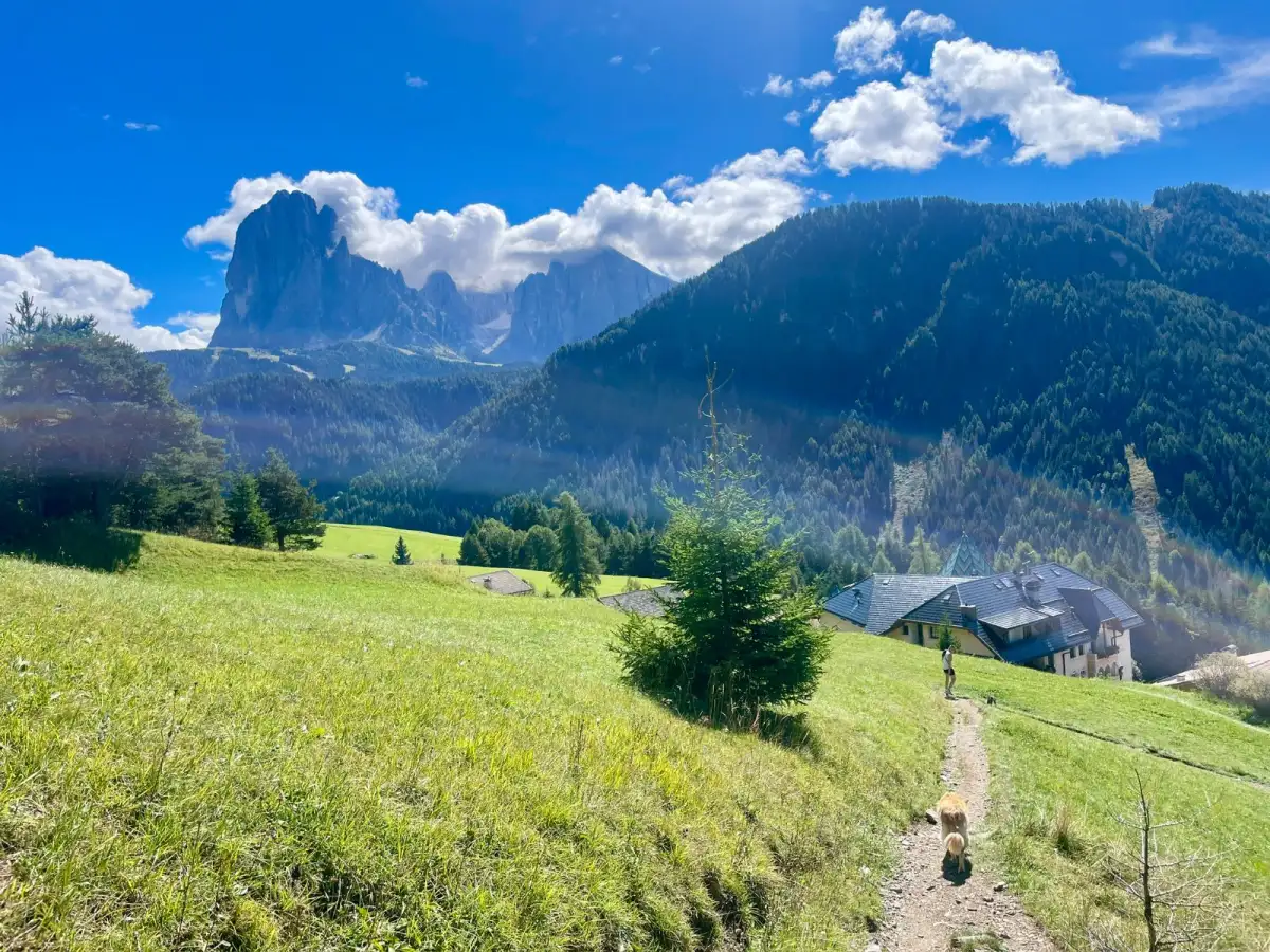
Short answer: the quickest way to find new trail running routes near you is to browse routes other runners have already recorded in a route-planning app, filtered to your area and the distance you fancy. Beyond that, look at a map for green spaces and paths close to home, follow local running clubs and social accounts for their regular routes, and once you've found a trail you like, branch off it to discover the ones that connect.
Most people run the same two or three routes until they're thoroughly sick of them, not because better ones aren't out there, but because finding new ones feels like effort. It usually isn't. There are more trails near you than you'd guess, including a good few you've driven past a hundred times without noticing, and here are the ways to actually turn them up.
Where's the easiest place to start?
Browse routes other runners have already recorded in your area.
This is far and away the fastest method, because someone has done the hard part for you. A route-planning app will show you trails other people have actually run nearby, usually with the distance, the climb and often a few notes, so you can pick one that suits and head out knowing the paths connect. Filter by distance and by how much climbing you want, start with something in your comfort range, and you've got a new route in about two minutes. It also quietly solves the biggest worry with anywhere new, which is whether the paths genuinely link up, because a recorded route is proof that at least one person got round.
How do I find trails close to home?
Open a map and look for the green, the blue and the dotted lines.
It's worth doing this even if you think you already know your area. Zoom in on a map around where you live and look for the things that tend to mean good running: parks and commons, woodland, nature reserves, canal towpaths and riverside paths, old railway lines turned into trails, and the dotted lines that mark footpaths and bridleways. Then look at how they join up. The trails hiding in plain sight are often the short connectors between two green spaces you already knew about, which turn two separate out-and-backs into one proper loop.
What about routes that aren't on any app?
Ask the people who already run them.
Local running clubs, and trail or parkrun groups in particular, have usually worked out the best routes in an area over years, and most are friendly about sharing them. Club runs are a low-pressure way to be shown trails you'd never have found alone, and you don't always have to join to tag along. Local Facebook groups, running shops and even the noticeboard at the trailhead car park are the same idea. Some of the best routes near you live in someone's head rather than on a map, and the only way to get them is to ask.
How do I turn one good trail into ten?
Use a route you already like as a base camp and explore outward from it.
Once you've found a trail that works, the easy wins are the paths leading off it. Next time you're out, take the turning you normally skip and see where it goes, or stitch two routes you know into one longer loop using a connector between them. Running somewhere new on purpose, even just a short out-and-back down an unfamiliar path, is how your map of the area quietly grows. The ground you cover becomes the ground you know, and the routes multiply from there.
How do I know a new route is any good before I run it?
Check the distance, the climb and the surface, and look for signs other people run it.
Before you commit to somewhere unfamiliar, have a quick look at the elevation profile so a surprise climb doesn't ambush you, and at the surface so you know whether it's smooth track or technical ground. If other people's recordings follow the same line, that's a reliable sign the route actually goes through rather than dead-ending at a locked gate or a ploughed field. There's more on sizing up a trail route to match your fitness in planning your first trail run, and a fuller guide to judging any route in how to plan a walking or running route.
Before you head somewhere new
The one real catch with exploring unfamiliar trails is that it's easier to take a wrong turn, so a little prep goes a long way.
Save your chosen route and the map around it for offline before you leave, so your location still shows up when the signal drops, which out on a trail it will (there's more on why in do you actually need offline maps for hiking?). Tell someone where you're going, and give yourself a bit of daylight buffer the first time you run somewhere new, because new ground always takes a little longer than you expect.
Finding new routes is half the fun of trail running, and it's the bit LaceLock is being built to make effortless. Discover trails near you, draw your own or start from one someone's already run, save it and the map for offline, follow your position live, and look back at where you went once you're home.